skip to main |
skip to sidebar
I didn't nab any tornadoes today, but I still got some great photo ops. Started off near Pampa, TX with Bri Winkler and Will Coffin, as we worked our way down to Lefors, TX. Got south of town and had a great wall cloud develop and showed signs of rotation, but it never dropped a tornado. Fiddled up near Canadian, TX for a while and made the trek back home. On the way home, I decided to go south out of Pampa to catch a few photos ops of a storm at sunset. I wasn't disappointed at all. No tornadoes, but it was still a great day with some great photos to take home. PHOTO #1 LARGE WALL CLOUD SOUTH OF LEFORS, TXPHOTO #2 ANOTHER SHOT OF WALL CLOUD SOUTH OF LEFORSPHOTO #3 NICE LOWERING SOUTH OF CANADIAN, TXPHOTO #4 NICE SCULPTED UPDRAFT WITH MAMMATUS ON HWY 70 NE OF GROOM, TXPHOTO #5 ANOTHER SHOT OF SCULPTED UPDRAFTPHOTO #6 BEAUTIFUL ANVIL COLORED BY THE SETTING SUN NE OF GROOM, TX


First of all, congrats to those who scored today...I didn't fare so well. Left Amarillo late because I was at the tv station in Amarillo helping with cut-ins (I ran the studio camera) until 4am. I got up late, but met Bri Winkler at the station at 1:30. We took off and just jetted east on I-40 to make up some time. Never got in great position to see any tornadoes, but we did see some nice structure that was worth the price of admission. I'm one that doesn't have to see tornadoes to be satisfied with a chase. If I was, I'd be disappointed quite often. I can say this...at least I got out and tried, and to me it wasn't a bust. Anyway, enough of my boring summary...now to the photos! :-)EDIT: Almost forgot to mention this. There was a lot of talk about certain individuals driving crazy on this day in Oklahoma. I had a special guest in my home that did a short talk about the antics of this day. I think you'll enjoy it!CLICK HERE FOR INTERVIEWPHOTO #1 SUPERCELL LOOKING NORTH FROM CLINTON, OKPHOTO#2 SAME STORM AS PHOTO #1, BUT ABOUT 20 MINUTES LATERPHOTO#3 SEMI TURNED OVER FROM A TORNADO NORTH OF KINGFISHER, OKPHOTO#4 LOOKING SOUTH AT A STORM FROM WATONGA, OKPHOTO #5 ANOTHER PHOTO LOOKING SOUTH FROM WATONGA, OK


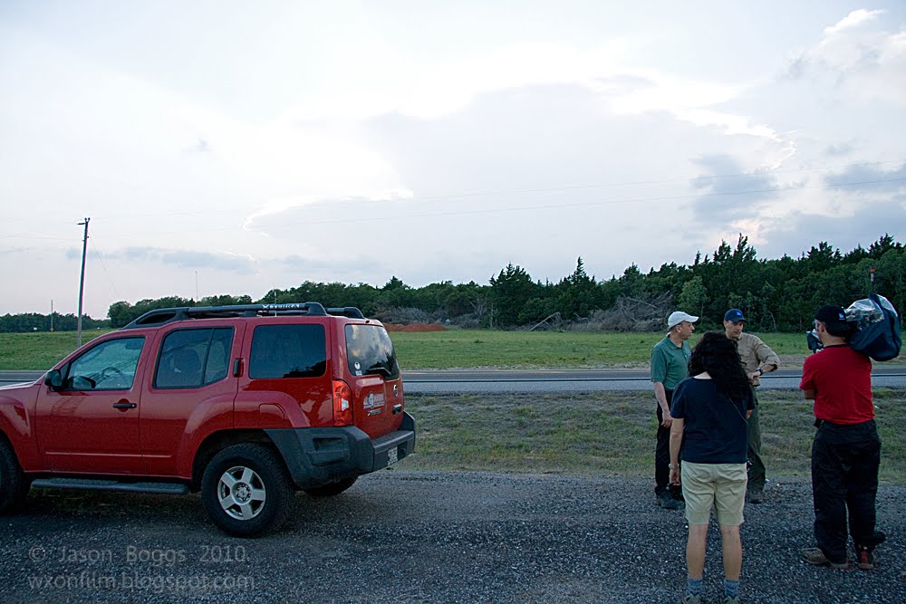
Hung out at the tv station until things got going. It looked pretty good for severe storms so we were ready to go. Saw a storm firing west of Dumas and headed that direction with my current chase partner Bri Winkler. As we got closer to Dumas, we began to see features of the storm to our southwest. We stopped about 10 miles south of Dumas to get a glance, and it had already produced a decent rain free base and small wall cloud. We got to Dumas and headed west of town to get a better view. It looked really good. It had a large wall cloud with a tail cloud to boot. We waited and watched a few minutes and I decided to go south about 3 or 4 miles. We got a good perspective and it looked pretty good. After a while, the updraft began to get filled in with rain, and it took on more of an HP status. We continued to watch it as Warren Faidley pulled up beside us and chatted for a while. We watched the cell slowly drift toward Dumas as the rotation got wrapped in rain. We could see some rotation on the back side, and we thought we may have seen a wedge develop for a brief time. We decided it was just a very low hanging wall cloud. If it had indeed been a tornado, Dumas would have had their hands full. We went east of Dumas for a while but were caught on the backside of the storm. Besides, the storm was drifting into an area with very poor road options. We broke off the chase at this time and hoped storms might form further south near Amarillo. That never happened, but it was a great chase nonetheless.PHOTO #1 LARGE WALL CLOUD SOUTHWEST OF DUMAS, TXPHOTO #2 STORM FEATURES WEST OF DUMAS, TXPHOTO #3 UPDRAFT OF STORM FILLING IN WITH PRECIPPHOTO #4 WARREN FAIDLEY'S CHASE VEHICLE. THE PERSON STANDING THERE WAS NOT WARREN. I THINK IT WAS ONE OF HIS TOUR CUSTOMERS.PHOTO #5 RAGGED ROTATION JUST WEST OF DUMAS, TX


I got a late start to the day and tried to catch the cells coming from the Paducah Quanah TX area heading into Altus, OK. I wasn't able to succeed in that attempt and headed back west to get on the cells in the SE TX Panhandle near Memphis. Got a pretty good wall cloud with some rotation which tried to produce a tornado a couple of times and failed. Saw Steve Miller TX in his new vehicle and we talked a few minutes. We headed towards Hollis, OK after a tornado warned cell. I headed north of Hollis and had a few attempts at wall clouds, but the storm just never did it for me. It looked really good nonetheless. Piddled around taking a few photos and saw some vortex2 equipment on the side of the road and decided to take some stills of the equipment with the storms in the background. Headed to Sayre and made the trek back home. No tornadoes today, but it was still a great day of chasing! Now to the photos:PHOTO #1-Storm south of Memphis, TXPHOTO#2-Anvil associated with the above imagePHOTO#3-Broad rotation north of Childress, TX looking westPHOTO#4-Storm north of Hollis, OKPHOTO#5-Photo north of Reed, OKPHOTO#6-Small wall cloud north of Reed, OKPHOTO#7-Another shot north of Reed, OKPHOTO#8-Near Willow, OKPHOTO#9-VORTEX2 equipment with storm in background southeast of Sayre, OKPHOTO#10-Same as abovePHOTO#11-Looking towards Cordell, OKPHOTO#12-Same as above, but different anglePHOTO #13-Final shot of VORTEX2 equipment with storm